35 years in military geospatial intelligence
The Social Value Navigator is the result of two peoples' commitment to service excellence. Rupert and Kyle have over 35 years combined experience in military geospatial intelligence, winning various awards and accolades for the quality of our output along the way.
Our roles required us to deliver timely and accurate assessments of the human and physical terrain in high pressure environments. Assimilating data from various sources, we specialised in distilling clarity from complexity, providing leaders with the context they needed to make decisions of critical importance.
The same problem, in a different uniform
We built the Social Value Navigator because we saw the same problem in a different uniform. Public sector tender teams and supplier bid writers are being asked to plan, evidence, and deliver social value commitments using data that is dislocated, inconsistent, and often incomprehensible. It's a mission we recognise.
So we've brought the disciplines that mattered most in our military careers — rigour, clarity, and a genuine sense of duty to the people affected by the decisions being made — and pointed them at this challenge instead.
The result is a platform that helps authorities and contractors turn social value commitments into measurable outcomes for the communities they serve.
Social value happens in a specific place
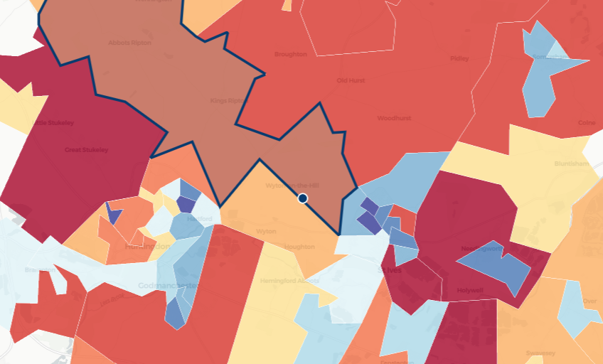
Geospatial intelligence is what makes that possible. Social value doesn't happen in the abstract — it happens in a specific ward, near a specific school, alongside a specific community with its own needs and priorities.
Yet the data that describes those needs is scattered across open datasets, licensed sources, and siloed systems. Applying the same GEOINT discipline that once supported military decision-making, we place need and opportunity on the map at a local level, highlighting community needs and opportunities.
This gives buyers and bidders the clarity to plan, target, and evidence tenders with confidence — and to deliver impactful social value outcomes as a result.